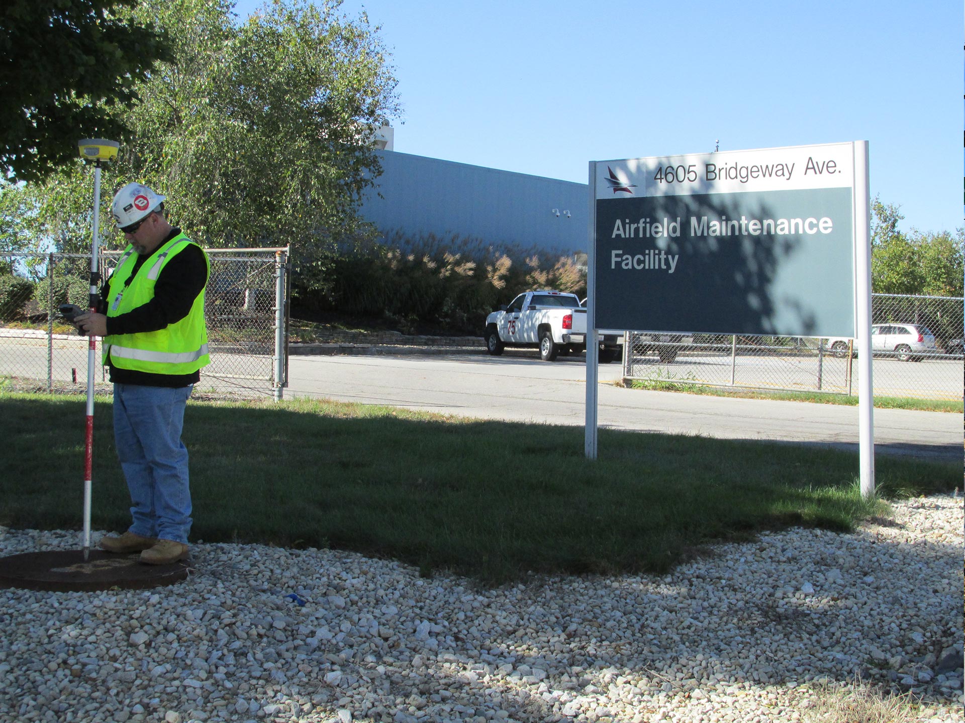
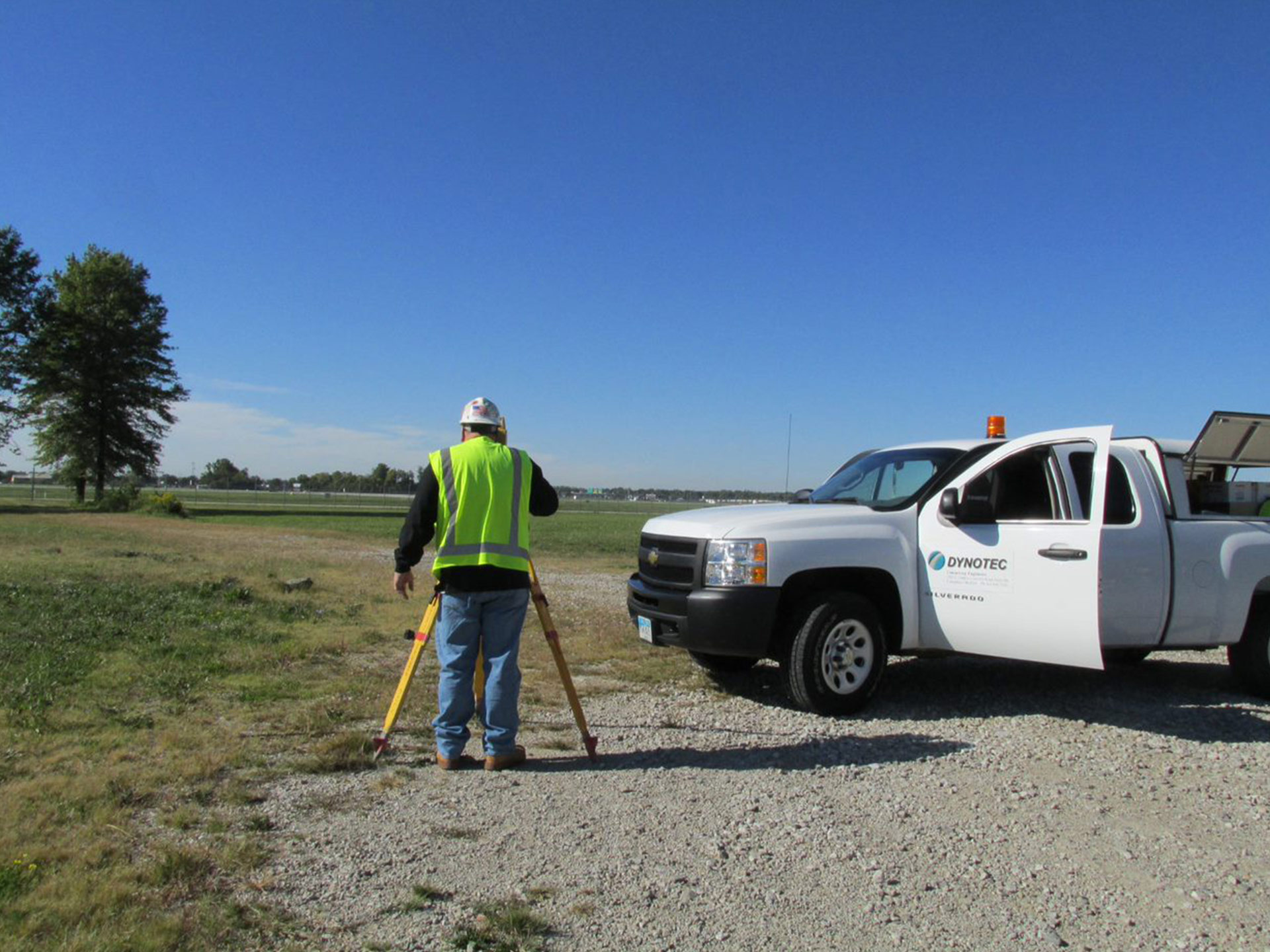
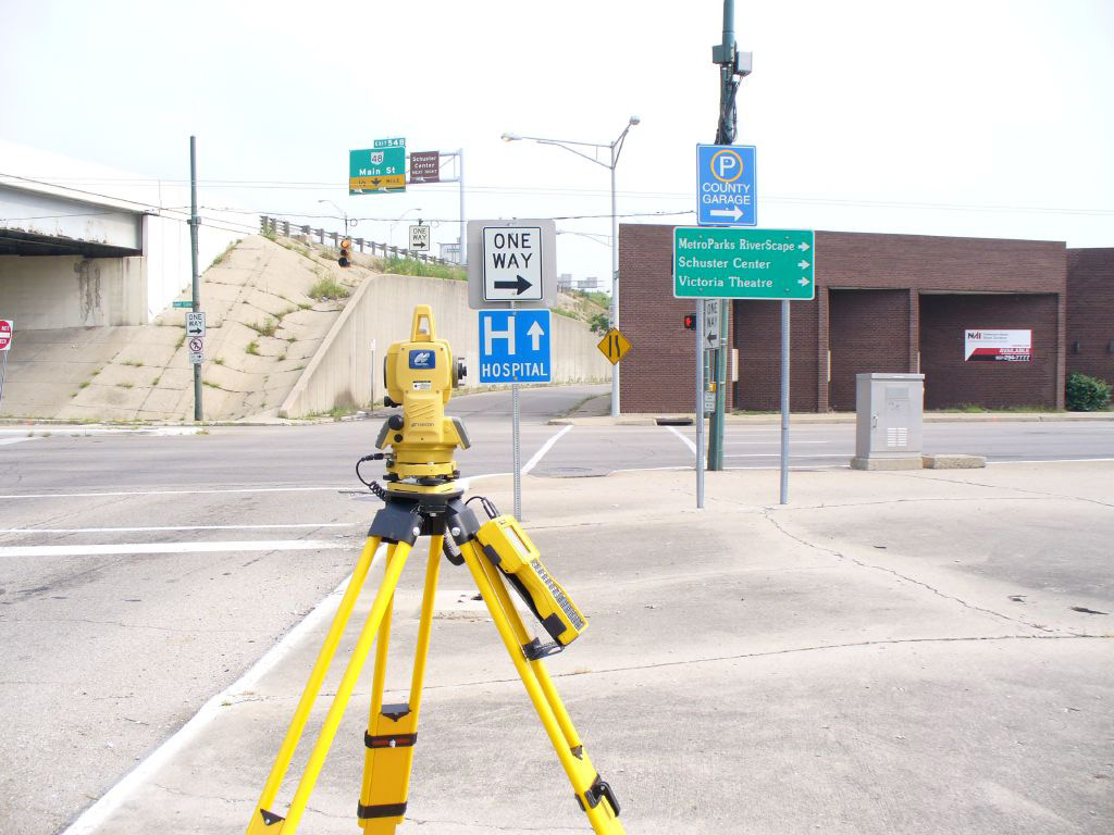
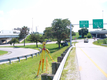
Dynotec is committed to full-scale, multi-functional surveying and utilizing state-of-the-art technologies to create efficiences for our department and our clients. Our services encompass Boundaries, Topography, Utility Locations, Controls, Mapping, Right of Way Plan Development, and Construction Staking. Our crews employ modern equipment including Total Stations, Data Collectors, Robotics, and GPS equipment with current software. We are at the forefront of the industry in terms of our iPad and GIS/GPS utilization which allows for “real-time” capabilities in data collection and data storing.
General Engineering
- Topographic Surveys
- Alta Surveys
- Boundary Surveys
- Architectural Surveys
- Right-of-Way Surveys
- Field Investigations (including ESRI Collector for ArcGIS)
Other Services
- Boundary Resolution
- Legal Descriptions
- Right-of-Way Determinations & Reviews
- Asset Management Infrastructure
- Mapping & Platting
Construction Staking
- Parking Lot Staking
- Water Line Staking
- Storm & Sanitary Sewer Staking
- Roadway Staking
- Easement Layout
- Subdivision Layout
- Building Layout
Technology
- Total Stations and Data Collection (Robotic and Conventional)
- iPads
- GPS
- Electronic Traffic Data Collection

